






A pilot program launched by the Space Force has successfully provided rapid “situational awareness” reports, crafted by commercial imagery analysis firms, to ground security forces during the recent U.S. military withdrawal from Niger, according to the Chief of Space Operations.
During a presentation at the Air Force Association’s annual conference, Chief of Space Operations Gen. Chance Saltzman discussed the Tactical Surveillance, Reconnaissance, and Tracking (TacSRT) initiative, which represents a $40 million investment aimed at bolstering AFRICOM requirements. He emphasized that this effort is designed to complement the valuable work done by the intelligence community by delivering unclassified operational planning products in timely manners.
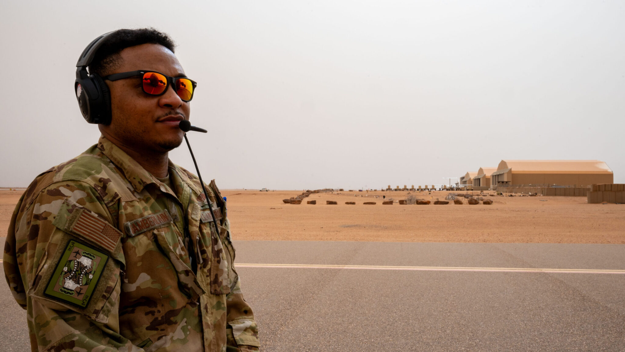
Since its inception last February, the TacSRT program has provided valuable updates on significant events, including flooding in Kenya and extremist activities in central Africa. Saltzman highlighted a key instance where Space Forces Europe employed TacSRT to assist U.S. forces during their withdrawal from Air Base 201 in Niger this August. “Throughout the withdrawal, the team maintained overwatch of everything within five kilometers of the base,” he explained, noting that the average turnaround time from satellite collection to delivery was around three and a half hours, which was reduced to as little as one and a half hours by the end of the operation.
During a follow-up roundtable with reporters, Saltzman elaborated on the unique role of TacSRT, differentiating it from traditional intelligence provided by U.S. spy agencies. “This is not like traditional collection and purchase of imagery,” he stressed. “It’s something different. It’s not about targeting; this is about providing situational awareness.”
This clarification appears especially crucial amid ongoing discussions regarding the Space Force’s role in the commercial satellite imagery landscape. Currently, the National Reconnaissance Office (NRO) manages the procurement of imagery from private firms, while the National Geospatial-Intelligence Agency (NGA) focuses on acquiring commercial analytic products. Some officials within these established intelligence entities have expressed concerns about the Space Force expanding into their domain. Nonetheless, Saltzman pointed out that Space Systems Command has successfully offered “near-real-time information and support” during various global emergencies, including natural disasters.
Describing TacSRT as a “pathfinder,” Saltzman indicated that the aim of the pilot program was to demonstrate its value and potential for expansion. Through a virtual “marketplace” of vetted commercial providers, the Space Force issues broad requests rather than buying raw images. For example, in the case of Niger, the Space Force asked for any anomalies occurring within a five-kilometer radius of the air base.
“TacSRT doesn’t buy imagery,” he reiterated. “What TacSRT has done, in this pilot in particular, is we simply ask a question into the marketplace: ‘What generally does it look like around Air Base 201? Are there any items of interest? Trucks that are massing, or do we see people milling around?’”
Saltzman summarized the initiative by stating, “We simply ask the question, and commercial industry provides us products that help us answer the question. This is just situational awareness—again, operational planning products, not intelligence products.”
As TacSRT has demonstrated its efficacy in real-world situations, Saltzman expressed his intention to scale up the program. This expansion could create additional budgetary challenges as discussions unfold in the appropriations committees on Capitol Hill. “The next step is just giving [them] more money so we can expand,” he concluded.